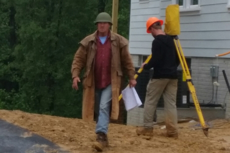
Land Surveying
GROUPE offers land surveying services throughout the Washington Metropolitan Area and the Mid-Atlantic.
GROUPE’s Survey Department has a strong staff of experienced and registered land surveyors. It has extensive experience in survey operations and survey products for all the residential, industrial and commercial projects undertaken by the firm. GROUPE oversees the preparation of topographic maps showing contours and spot elevations, preparation of plats and boundary surveys, and providing quality control services such as verification of earthwork quantities. GROUPE has provided numerous tower location and elevation certification surveys for a major telecommunication firm.

GROUPE’s survey team maintains current knowledge of land surveying, computer methods and procedures through attendance at professional seminars, including courses in Virginia Boundary Law, Suburban Development, and GIS, as required by the Virginia Department of Professional and Occupational Regulation (DPOR).
- Boundary Surveys (ALTA)
- Topographic Surveys
- As-built Surveys
- Construction Stakeouts
- Record Plats
- Subdivision Plats
- Condominium Drawings
- Route Surveys
- Bathymetric Surveys
- Wetland Surveys
- GNSS
- GIS
Consistent with GROUPE’s mission to provide a full range of state-of-the-art services, GROUPE’s Survey Department has added drone services. Our drone pilots hold FAA Remote Pilot Certificates allowing all drone data to be distributed for commercial use.
GROUPE drone imagery and video provide a bird’s eye view of your projects, during planning stages or final construction.
Drone Services Include:
Topographic surveys
Construction progress imagery to catalog features
Inspection of vegetation cover by visual observation
Current imagery for planning, such as economic development exhibits
3D models and point clouds to support topographic mapping
Volume checks on stockpiles
Presentation grade videography
GET STARTED TODAY
At GROUPE, we have worked on various types of surveys throughout the Virginia, Maryland and Washington, DC areas as well as throughout the Mid-Atlantic. Contact us today to find out what a difference our experience can make on your next project.
